The Three Shastas
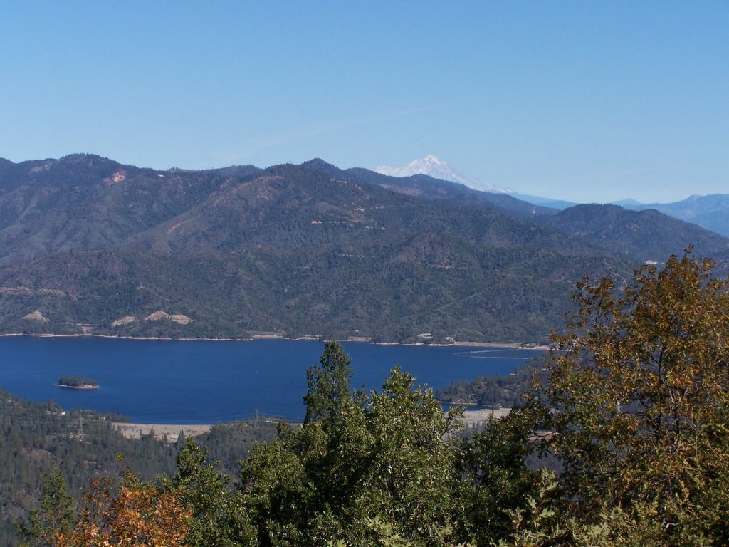
 Shasta Dam, Lake Shasta, Mt. Shasta
Near a geocache named "Keeper of the Stars 7-3"
posted by Gary Brimhall @ 3:30 PM
0 comments
![]()
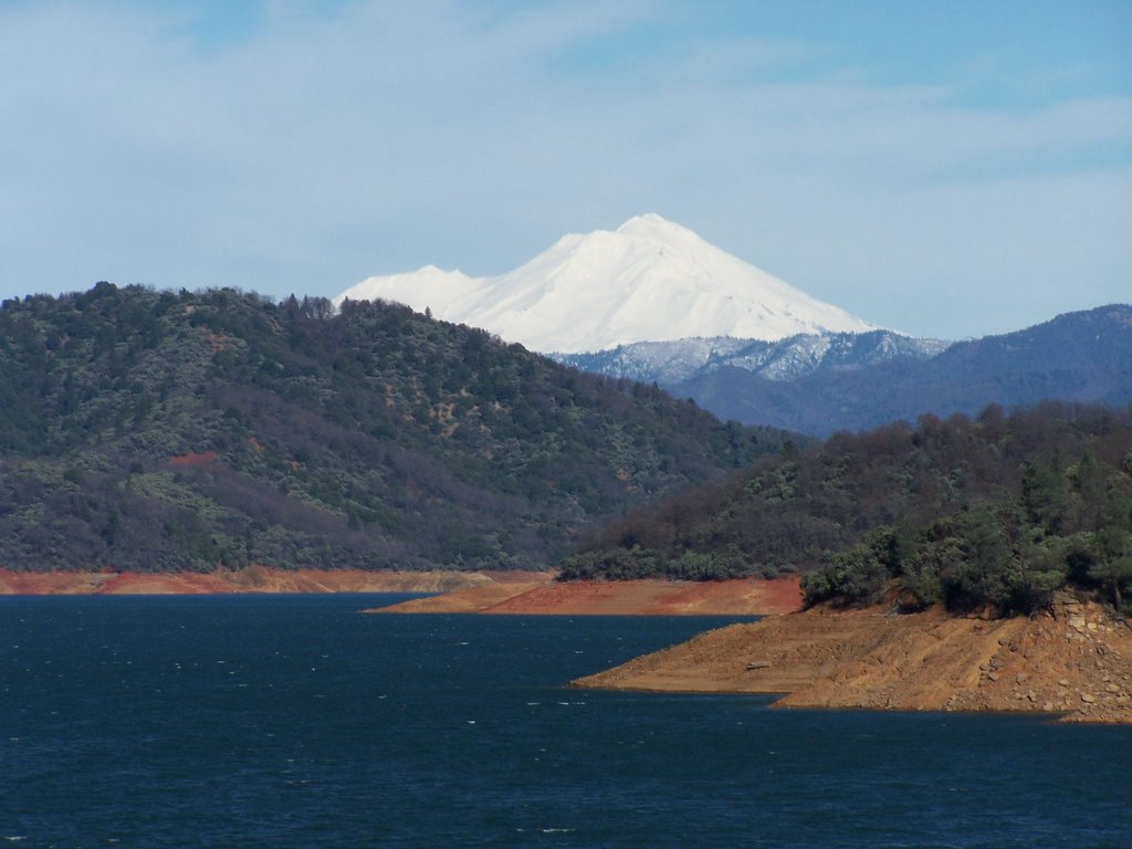
Shasta Dam, Lake Shasta, Mt. Shasta
posted by Gary Brimhall @ 3:30 PM
0 comments
![]()
 On the way to a geocache called Fishermudi.
posted by Gary Brimhall @ 3:27 PM
0 comments
![]()
posted by Gary Brimhall @ 3:22 PM
0 comments
![]()
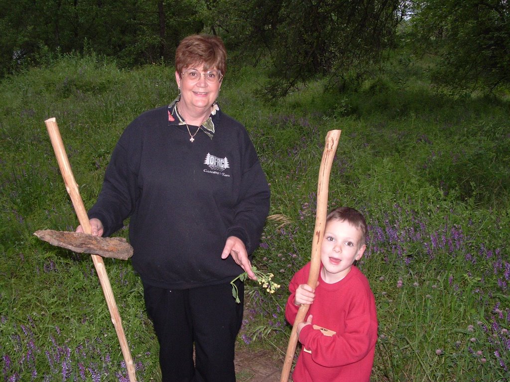
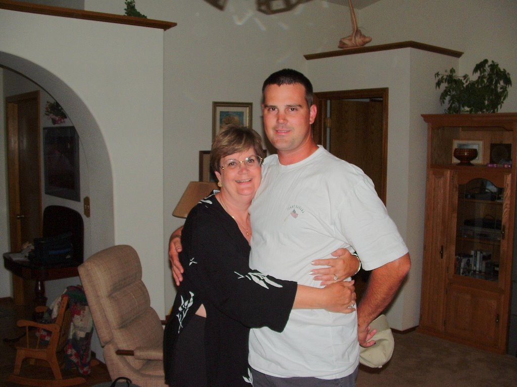 Nola with Chris on his Birthday in July, 2005. He is three years old (if I tell the truth and say he is 30 years old you might think I'm old or that I married a child bride).
posted by Gary Brimhall @ 2:13 PM
0 comments
![]()
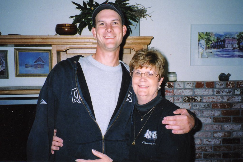 Mike and Nola at Thanksgiving, 2005.
posted by Gary Brimhall @ 10:34 AM
0 comments
![]()
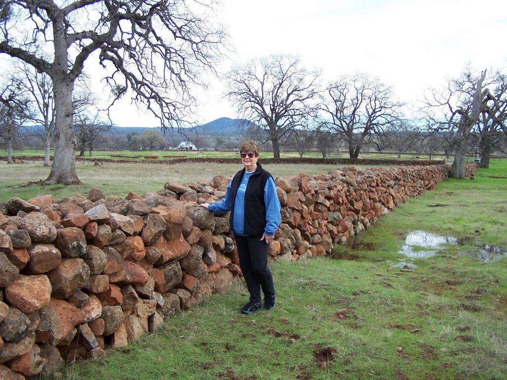 These rock walls are on the way to Black Butte (center, background-not to be confused with the Black Butte at Mt.Shasta). They appear to be recently constructed (not Chinese walls such as those found in Butte County) and were very uniform in size. Who built them is a mystery to me at this time but I'll be asking around for info.
posted by Gary Brimhall @ 2:22 PM
0 comments
![]()

posted by Gary Brimhall @ 3:01 PM
0 comments
![]()
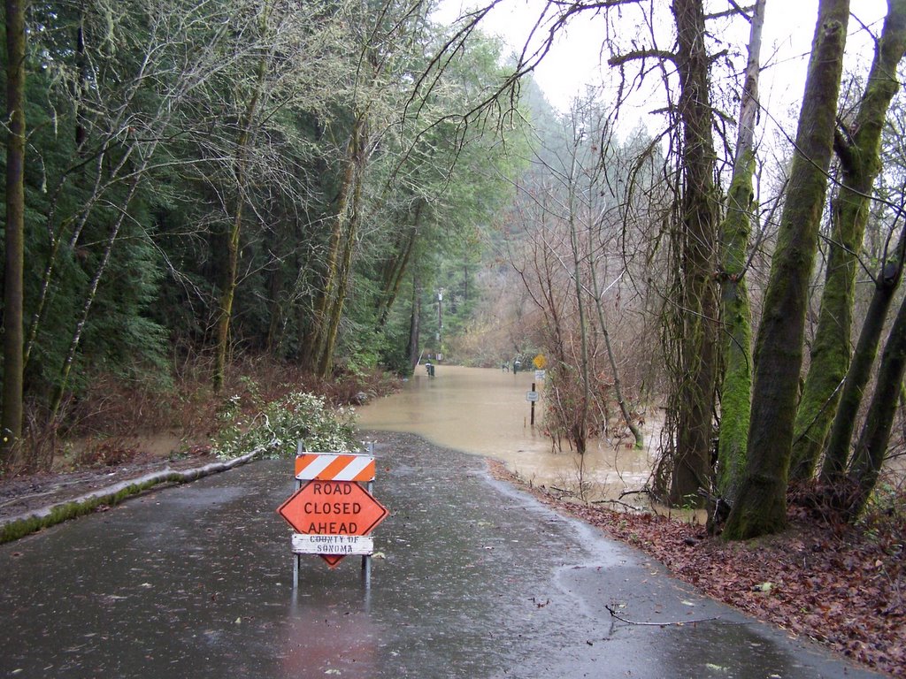 Our normal route home is flooded along the Russian River - the gate is visible in the background.
posted by Gary Brimhall @ 4:30 PM
0 comments
![]()

posted by Gary Brimhall @ 4:18 PM
0 comments
![]()

posted by Gary Brimhall @ 10:36 AM
0 comments
![]()
Although retired, I work from about April until about December as a Public Works Inspector.